Con Edison Hosting Capacity Map
Feeder hosting capacity for New York City and Westchester — on the same map as parcels, ownership, substations, and the live SIR interconnection queue.
Explore the Map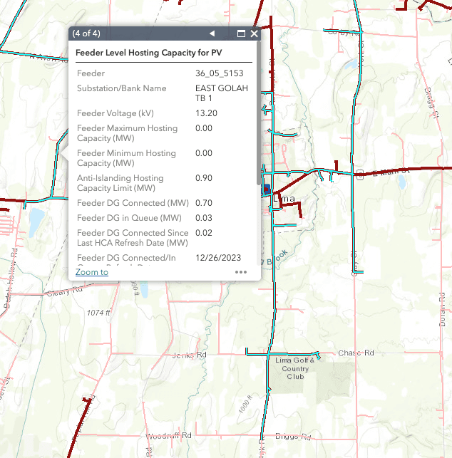
The hardest interconnection territory in New York
Con Edison serves roughly ten million people across the five boroughs and Westchester County, and its distribution system is unlike any other in the state. Large parts of it are secondary networks — meshed low-voltage grids engineered so that losing a single cable never drops a customer. That design is superb for reliability in dense urban load pockets and genuinely hostile to distributed generation, because network protectors are built to stop power flowing backwards.
The practical consequence is that a ConEd hosting capacity map reads very differently from National Grid's. Capacity is not smoothly distributed and then tapering with distance; it is close to absent in network areas and concentrated on the radial circuits that serve Staten Island, the outer edges of Queens and the Bronx, and Westchester. Knowing which category a circuit falls into matters more than the headline number.
Here, siting starts with the parcel — not the feeder
In upstate territories the workflow is to find a feeder with headroom and then work outward to the land around it. In Con Edison territory that inverts. Buildable ground is the scarce input: closed landfills, brownfields, capped industrial sites, large flat rooftops, parking canopies, and municipal land. The question is not where is there capacity but is there a non-network circuit with headroom near the handful of parcels that could actually host a project.
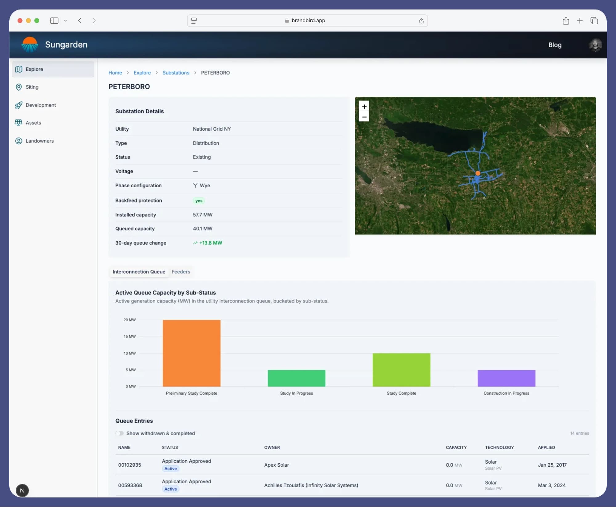
That is a two-sided query, and it is exactly what the utility's own portal cannot answer — it has no parcels in it. Sungarden keeps Con Edison's hosting capacity map in sync and puts it on the same map as parcel boundaries and ownership, so you can screen from either direction and see where the two overlap.
What Sungarden loads for Con Edison
- Feeder-level hosting capacity
- Feeder geometry and attributes
- Substations
- Parcel boundaries and ownership (New York)
- Interconnection queue, mapped to substations
Not yet loaded for this territory: feeder load curves.
Frequently asked questions
Where does Con Edison publish its hosting capacity map?
Con Edison publishes feeder-level hosting capacity through its public Hosting Capacity Map, one of the commitments the Joint Utilities of New York made under the state's Reforming the Energy Vision proceedings. Like the other Joint Utilities portals it is a standalone GIS viewer: it shows circuits and capacity values, but no parcel boundaries, no ownership, and no link to the interconnection queue.
Why is hosting capacity so low across much of New York City?
Much of Manhattan and the denser parts of Brooklyn, Queens, and the Bronx are served by secondary networks — meshed low-voltage grids built for reliability rather than for two-way power flow. Network areas are difficult and expensive places to interconnect distributed generation because reverse flow interacts badly with network protectors. The radial, non-network parts of the system — Staten Island, outer Queens and the Bronx, and most of Westchester — behave like a conventional distribution system and are where most ConEd-territory projects land.
Is land or grid capacity the binding constraint in ConEd territory?
Usually land. Unlike upstate territories, where developers hunt for a feeder with headroom and then find a parcel, ConEd siting tends to run the other way: buildable sites are scarce and expensive, so the search starts from parcels — landfills, brownfields, large flat rooftops, parking canopies, municipal land — and then checks whether a non-network feeder nearby can take the project.
Does the SIR process apply to projects in ConEd territory?
Yes. New York's Standardized Interconnection Requirements govern distributed generation up to 5 MW, including in Con Edison territory. Projects above that threshold go through NYISO's interconnection process instead. Sungarden maps SIR queue entries to the substation they connect at, so you can see committed megawatts before committing to a site.
How current is the data in Sungarden?
Sungarden syncs Con Edison's published hosting capacity and substation data on a regular schedule, and monitors New York's SIR queue continuously — including alerts when projects withdraw and capacity frees up at a substation.
Other New York hosting capacity maps
Or start from the New York hosting capacity overview to compare every utility in the state on one map.
Find the sites that work on Con Edison's system.
Get Started For FreeFree during beta
Sungarden is an independent platform and is not affiliated with or endorsed by Con Edison. Hosting capacity and system data are sourced from Con Edison's published datasets and are intended for screening only — not as a substitute for a utility interconnection study.