Solar farm siting, made simple.
Hosting capacity maps, live interconnection queues, and parcel ownership for every site — on one map. Screen out unworkable land in minutes and get to landowner outreach first.
Get Started For Free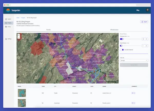
Screen from the grid or from the land — whichever binds first
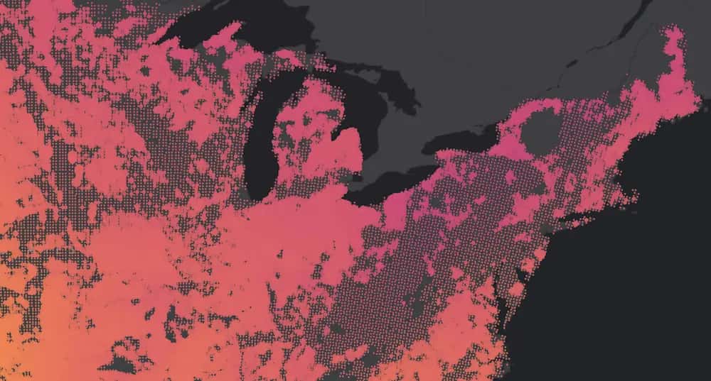
Where land is plentiful, the scarce thing is a circuit that can take your project. Where land is scarce, you start from the parcel and work back to the grid. Sungarden puts both on one map, starting with utility hosting capacity maps, so every parcel you look at is near a feeder that can actually take your project — or, working the other way, every circuit you check is next to parcels you can actually see the owners of. Refine with filters for wetlands, slope, and interconnection tax credits. Browse hosting capacity maps by utility to see the territories we cover.
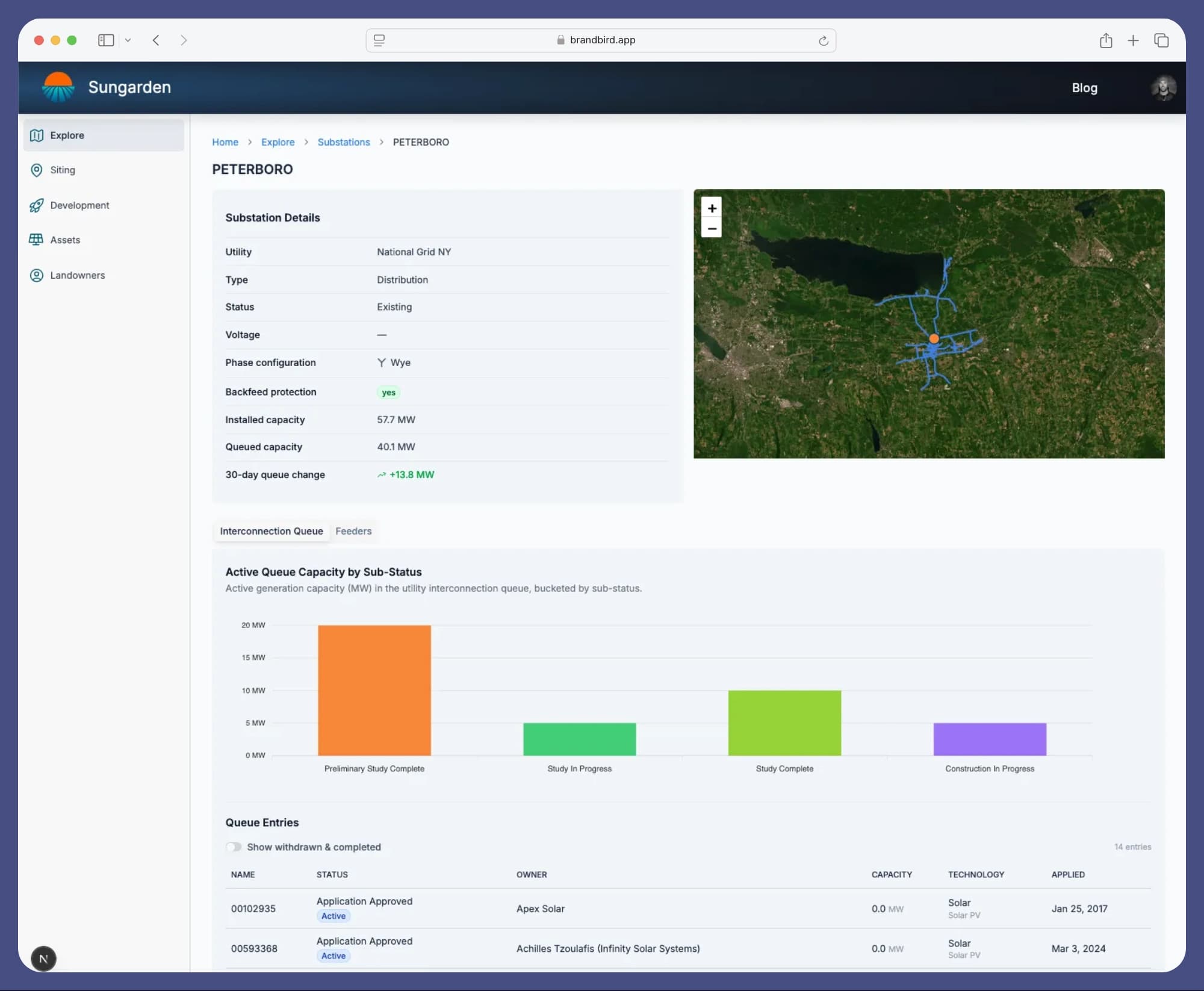
Know when queue capacity frees up, before anyone else
Sungarden monitors utility interconnection data in real time, alerting you when active projects withdraw and capacity becomes available at nearby substations. Dig into feeder-level detail: voltage, load, and available headroom, so you can identify sites that connect cleanly and avoid the ones that come with a seven-figure upgrade bill.
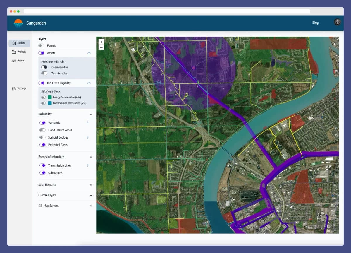
Every layer that kills a deal, in one place
Wetlands, flood zones, protected areas, slope, endangered species habitat, substations, tax credit eligibility — the layers that decide whether a site pencils, together on one map instead of scattered across a dozen government viewers.
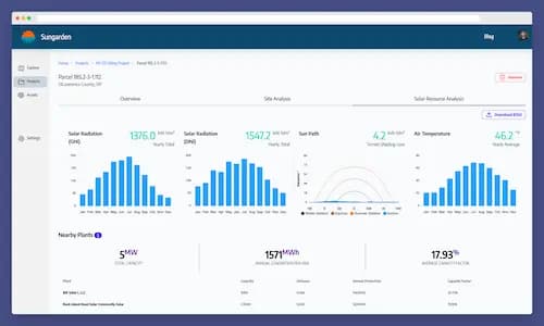
Comprehensive parcel info
Sungarden puts detailed info right at your fingertips. Parcel details, ownership info, solar resource availability, and more.
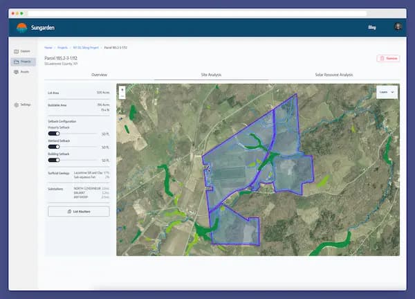
Get a head start on analysis
Configurable constraints give you a realistic estimate of buildable area, and a heads up on potential environmental concerns — before you spend a dollar on studies.
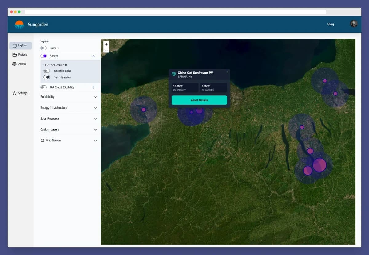
Project locations
Keep track of existing sites and installed capacity to ensure new sites don't affect FERC qualification.
Your next site is already on the map.
Find it before someone else does.
Get Started For Free